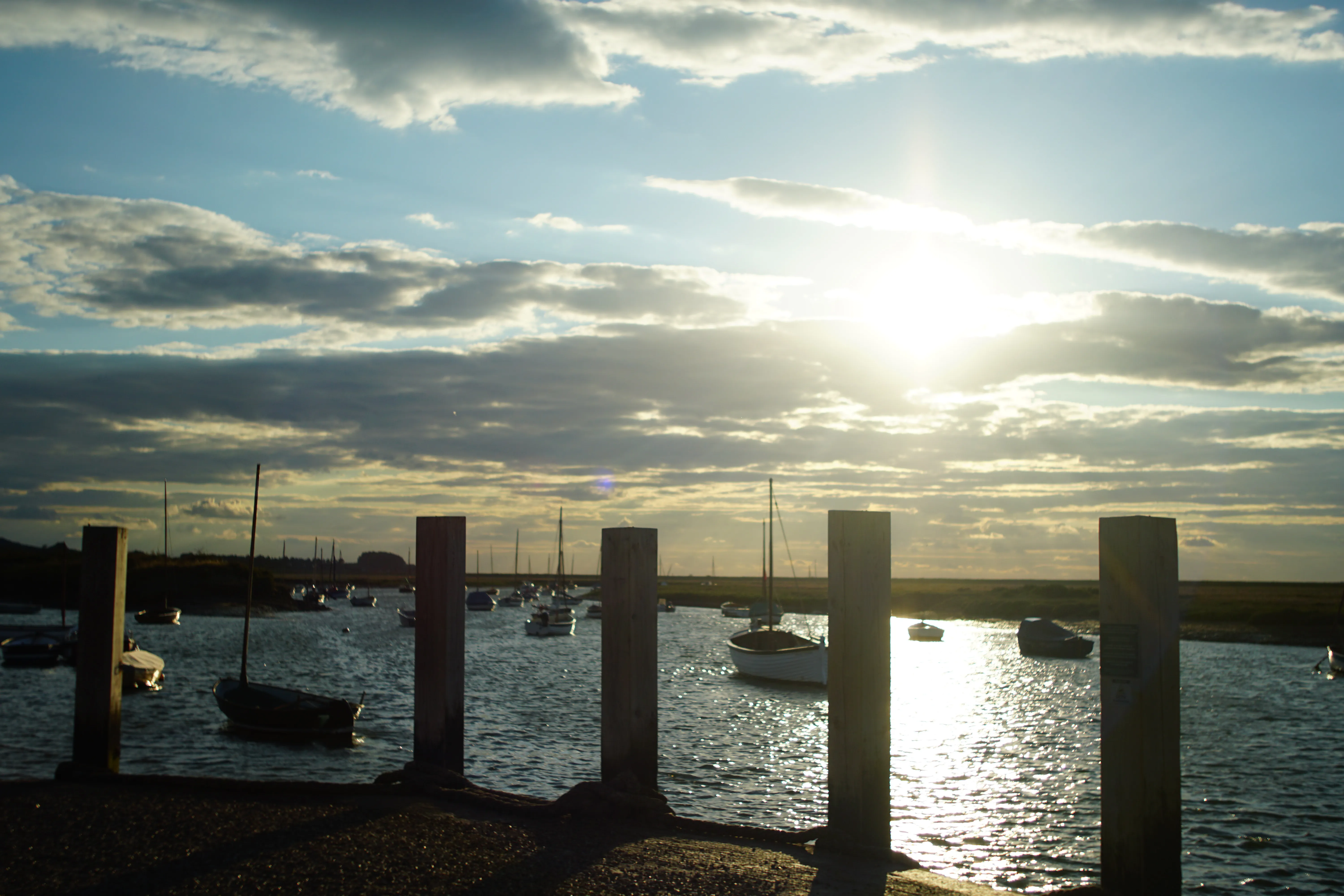
High tide along the
Norfolk coast.
All locations
7-day tables · free
The next high tide is at Hunstanton
±40 min
BST on
-
Hunstanton
±40m12:31 BST · Sat 5 Sept
Striped cliffs, west-facing
-
Holkham Beach
±40m12:38 BST · Sat 5 Sept
Gap, pines & vast sands
-
Wells-next-the-Sea
±30m12:54 BST · Sat 5 Sept
The harbour channel
-
Brancaster Staithe
±30m12:58 BST · Sat 5 Sept
Mussel beds & the harbour
-
Burnham Overy Staithe
±30m13:08 BST · Sat 5 Sept
Creek to Scolt Head
-
Morston
±30m13:23 BST · Sat 5 Sept
Quay for the Point
-
Blakeney
±30m13:28 BST · Sat 5 Sept
The Glaven channel
What the tide lets you do
All activitiesThe creeks here dry out, so what is possible at each place depends on where the tide is. Each page puts the window the local club, harbour or operator publishes next to the forecast for those hours.
See the week sweep
A time, and how far it can be out
Tide prediction is good, not perfect. Wind, pressure and the lie of each creek shift the real high water by a few minutes. So we publish the predicted time — like 06:11 ±30 min — and never hide how wide that is. That ± is the window we stand behind, not a decoration. Honest beats precise-looking every time.
- Locations
- 7
- Free days
- 7
Your tides, in your calendar
Once the free table has earned your trust, get 365 days of high tides for your location — dropped straight into Google, Apple or Outlook calendars, from £2.
Free tables generated 5 September 2026.